Saramati Peak Travel Guide – Overview, Attractions & Visiting Timings
NAGALAND
Temperature
24 °C
Wind Speed
km/h
Humidity
%
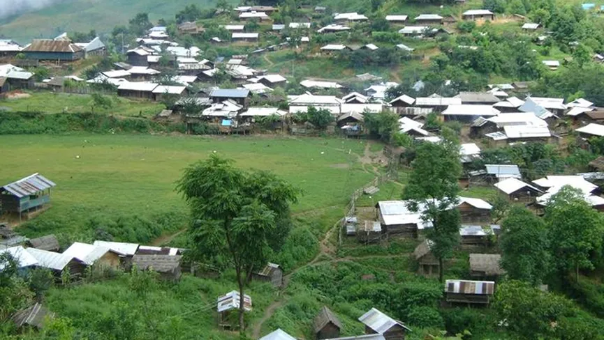
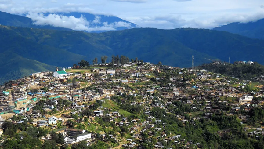
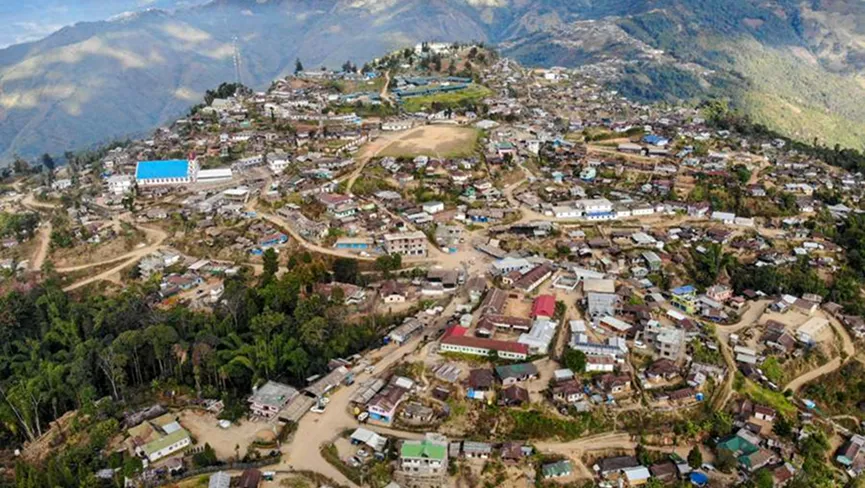
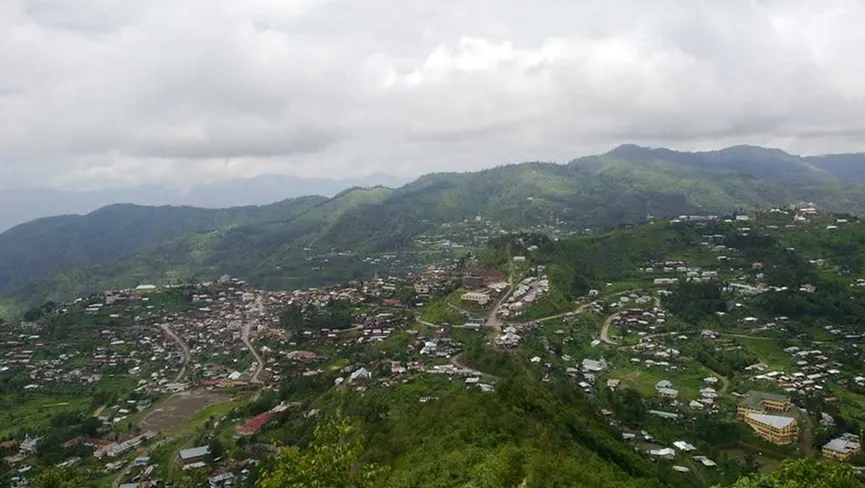
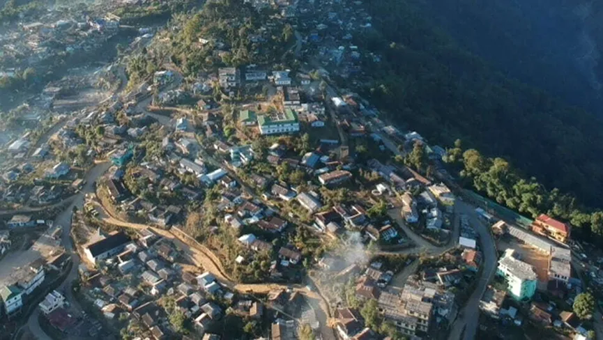
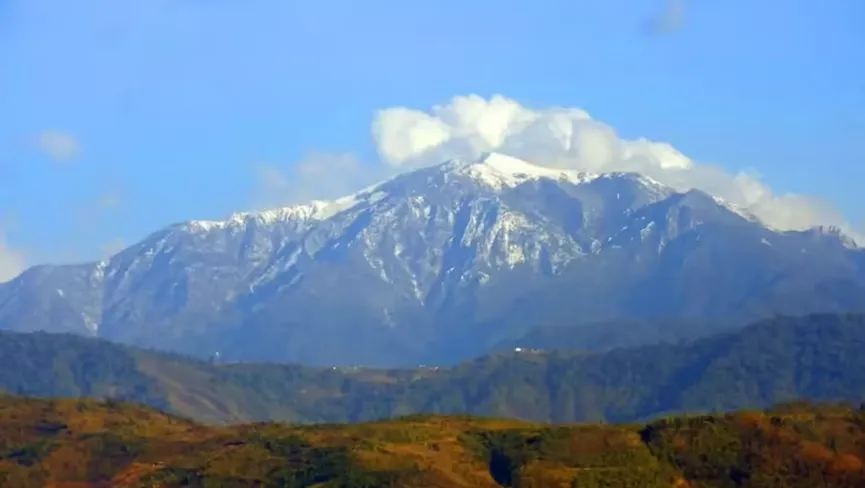
Saramati Peak, the highest mountain in Nagaland, rises majestically to about 3,826 metres and stands on the India–Myanmar border near the scenic town of Pungro in Kiphire district. Located approximately 70 km from Kiphire town and around 350 km from Kohima, this towering peak is surrounded by dense evergreen forests, rare orchids, and pristine alpine landscapes. Trekkers usually begin their journey from Thanamir Village, famously known as the “Village of Apples,” making the ascent both culturally rich and naturally breathtaking. The summit of Saramati Peak offers panoramic views of the Patkai Range, the Naga Hills, and the misty valleys of Myanmar—making it one of Northeast India’s most sought-after trekking destinations. With improving accessibility via road routes from Dimapur–Kohima–Kiphire, Saramati Peak is perfect for adventure seekers, photographers, and nature lovers seeking untouched beauty in Nagaland.